MDT Standard 7.0
Latest version:
7.0
See all
Developer:
Aplitop S.L.
MDT Standard is a program that allows you to model a terrain using a point cloud, generate contours, get profiles and cross-sections, calculate volumes by mesh or profiles differences and display 3-D views. It facilitates the exchange of information between users by means of DWG format drawings.

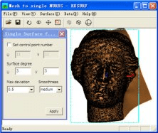
This software can convert an open mesh to a single NURBS surface just one click

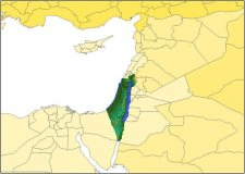
FSGenesis Israel Base Terrain Mesh for FSX tool to visualize Israel terrain.
Comments